APEM Group ESG Impact Report 2025: Turning Ambition into Impact
Now in our fifth year of ESG reporting, APEM Group continues to embed Environmental, Social and Governance (ESG) principles across...

Over the past 30 years, APEM Group have been driving innovation and improvements for data collection in the early EIA stages of offshore wind developments, defining how best to collect data in the marine environment for seabirds and marine mammals.
In our previous article based on our webinar series focussing on offshore wind in Australia, we looked at the evolution of marine wildlife surveys and how we developed a best practice approach combining digital aerial surveys (DAS) with LiDAR technology.
Survey design
For digital aerial surveys, transect-based or grid-based design is decided upon by considering why data is collected, recognising the purpose of the project and how data will be used. Considerations are a balance of cost to the client versus obtaining as much data as possible, especially where there are rigorous regulations, the likelihood of wind farm areas changing and a lack of baseline data to call upon.

Transect and grid-based designs for digital aerial surveys*
Transect based design is recommended as a cost-effective data collection method to survey large or regional spatial scales. APEM Group undertook transect-based surveys in the world’s largest aerial survey over New York, as well as in North and South Carolina and off the coasts of Ireland and Scotland.
With a retrospective view, and with advances in technology, we recommend a grid-based design for gathering precision data for population estimates, risk levels and mortality rates for EIA purposes and from an approvals perspective. This is especially important in areas where there is uncertainty or a lack of data in OSW sites and buffers, as baseline data must be as rigorous and defensible as possible. An even sampling regime provides confidence that the data remain fit for purpose, with the same coverage levels where project sizes and shapes change over time. By sampling a whole area, we can ensure no further surveys would be required if plans change, so no additional survey effort or hidden costs for extra modelling would usually be required.
Knowing which species are present, where they reside in the project site and what times of year they naturally occur are key questions to manage the EIA process. Advances in technology and the right survey design enables us to gather more robust and accurate data to answer these questions, adding confidence to developers and regulators.
LiDAR: the next step in the evolution of DAS
Using digital aerial surveys, subjects are photographed from 400m above sea level. With this technique, there remained a small degree of uncertainty: is the bird a small example of its species, or is it just flying at a lower altitude? With this uncertainty came tighter regulations to ensure all possibilities were mitigated for, slowing the consenting process and, in some cases, halting it altogether.
Members of the APEM Group Geospatial Insights and Marine Wildlife Surveys teams came together to develop a novel approach and an innovative solution to add certainty for regulators and developers. Read the next article in our series to find out more about the APEM Group-developed LiDAR technology that has taken it to a global best practice approach.
There are a number of reasons why we recommend LiDAR as a standard for Australian OSW developers:
The next article in our series will explore why LiDAR is now seen as a gold-standard approach that has been highlighted by Natural England, the statutory advisory on nature conservation in England, how LiDAR works to accurately assess bird flight height and how it adds confidence to our clients in OSW.
Advances in science and technology have driven improvements and cost efficiencies to the renewables industry globally. Led by science, a learning mindset and commitment to core scientific principles, APEM Group are considering the next steps in the evolution of survey methods, including drone technology, AI and considering evolving regulations across the world. Keep an eye on our Technology Innovations page for new developments.
*Adapted from McGovern S. et al. (2019) The First Large Scale Offshore Aerial Survey Using a High Resolution Camera System. In: Bispo R., Bernardino J., Coelho H., Lino Costa J. (eds) Wind Energy and Wildlife Impacts. Springer, Cham.
Get hand-picked content from our subject matter specialists. Sign up to receive relevant updates, resources, and ideas that help you and your organisation.
We're here to help. Whether you're looking for tailored insights, support with a project, or just want to explore how we can work together, contact our team today.
Now in our fifth year of ESG reporting, APEM Group continues to embed Environmental, Social and Governance (ESG) principles across...
Global renewable energy consultancy OWC and APEM Group, through its subsidiary GoBe Consultants Ltd (GoBe), have signed a memorandum of...
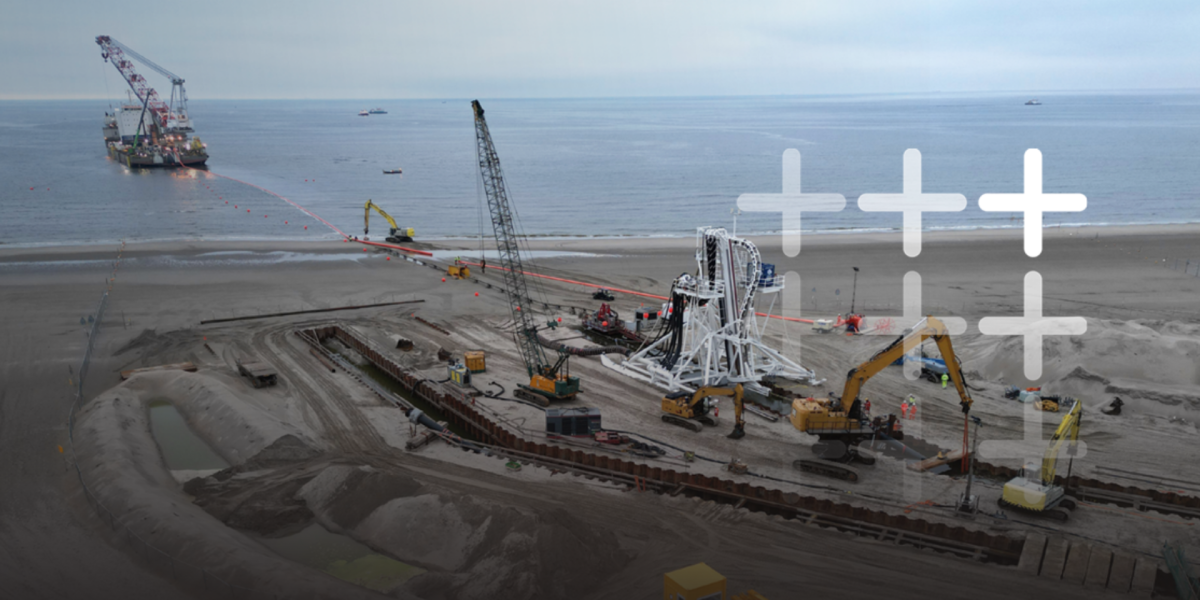
Securing consent for cable infrastructure has never been more challenging. Competition for viable landfall locations is increasing, offshore routes are...