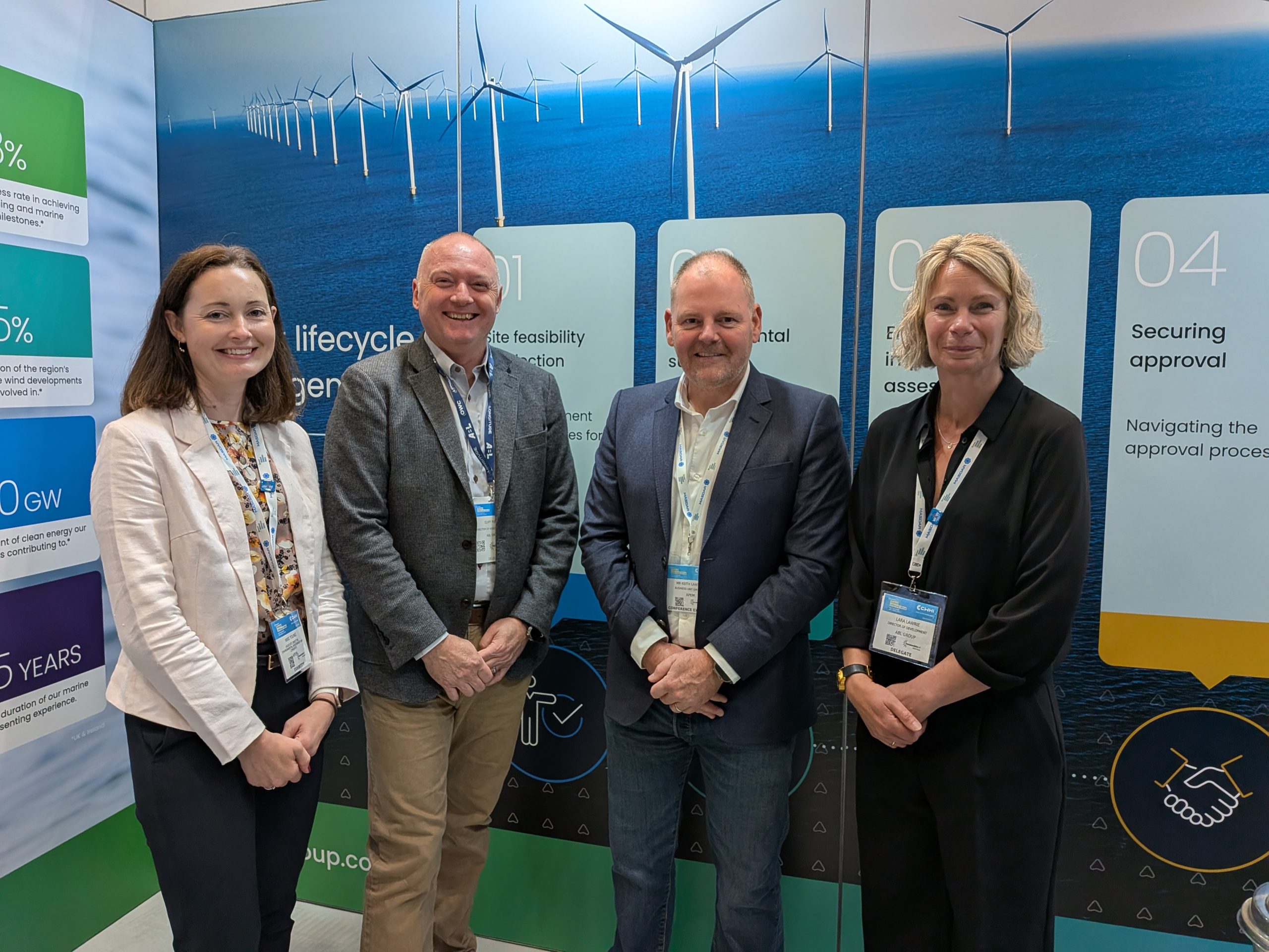
OWC and APEM Group partner on UK offshore wind decommissioning
Global renewable energy consultancy OWC and APEM Group, through its subsidiary GoBe Consultants Ltd (GoBe), have signed a memorandum of...

From the first offshore wind projects over 30 years ago, renewable energy technology has advanced at pace. Developments and innovations in science and technology have increased the size, capability, performance and power generation of wind farms. In turn, APEM Group has continued to develop and evolve marine wildlife surveying methods, to manage and mitigate impacts and keep up with changing regulatory requirements.
In Europe, the first marine wildlife surveys took place by boat over 30 years ago, with an ornithologist and a pair of binoculars. However, as seabirds associated boats with fishing vessels and an easy food source, the results could not be relied upon. Surveyors recorded more birds in the air than would otherwise be there, meaning an over-reporting of birds in the potential wind farm area. Birds that were disturbed by the boats would also take to the air, adding to the uncertainty in calculations.
Visual aerial surveys from low flying aircraft avoided some disturbance and had the advantage of an improved health and safety record, but still caused displacement in bird populations. Higher-altitude flights would, of course, avoid this disturbance, but the technology needed to be developed. In the early 2000s, APEM Group adapted the methodology, developing digital aerial surveys (DAS) to drive efficiencies and give reliable and accurate data on abundancy, population density, activity rate and flying behaviour.


From top left clockwise: Kelp gull, Aus shelduck, Aus pelican, Greater crested tern
Flown at 400m above sea level, DAS record natural behaviour and activity rate and do not incur the behavioural biases (attraction or displacement) in wildlife associated with boat-based or lower-altitude visual aerial surveying methods. This gives the opportunity to gather unbiased baseline data and reduce uncertainties in collision risk.
Using a stills camera provides ultra-high resolution images without the distortion associated with video surveys. Each pixel represents 1.5cm2 GSD (ground sampling distance), which is vital for identifying protected species. The images that accompany this article have all been taken during aerial surveys from a moving aircraft at 400m above sea level.
DAS are flown seasonally and at regular intervals to provide robust datasets and a permanent and unbiased record that can be revisited
Cost efficiencies: getting the right data first time, every time, reducing the need to re-survey if plans change
Time and resourcing: DAS can be mobilised quickly and surveyed in a single day, leaving skilled surveying staff available for other projects
Reliability: Can be consistently carried out through any stage of the project lifecycle, from establishing baselines during the pre-construction stage, during the construction phase to monitor species that are sensitive to construction activity, to operation and the decommissioning period
State of the art geospatial technology: global navigation satellite systems, inertial measurement units and externally mounted global positioning satellite antenna. These core components allow us to record in-flight altitude and aircraft movement, enabling us to offset the natural movements of the aircraft: essential for accurate capture of data and giving information on exact coverage to give robust estimates
Ultra-high resolution imagery: Improved stills camera systems with 1.5cm per pixel of the sea surface to identify species. No image distortion and more pixels in comparison to video systems

Aus gannet (adult), Shy albatross, Aus gannet (juv), pied oystercatcher, little penguin
The next step in the evolution of DAS
When photographing from above, there remains a small degree of uncertainty with DAS: is the bird a small example of its species, or is it just flying at a lower altitude? With this uncertainty came tighter regulations to ensure all possibilities were mitigated for.
Members of the APEM Group Geospatial Insights and Marine Wildlife Surveys teams came together to develop an innovative approach to add certainty for regulators and developers.
Advances in science and technology have driven improvements and cost efficiencies to the renewables industry globally. Led by science, a learning mindset and commitment to core scientific principles, APEM Group are developing the next steps in the evolution of survey methods, including drone technology, AI and considering evolving regulations across the world. Keep an eye on our Technology Innovations page for new developments.
Watch the webinar again or to contact Sean Sweeney here.
Global renewable energy consultancy OWC and APEM Group, through its subsidiary GoBe Consultants Ltd (GoBe), have signed a memorandum of...
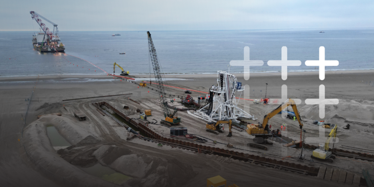
Securing consent for cable infrastructure has never been more challenging. Competition for viable landfall locations is increasing, offshore routes are...
APEM Group is pleased to announce that Ambiente S.r.l is now officially part of the Group, marking an important step...