Transforming Wastewater Network Visibility | Aerial Mapping for Yorkshire Water
APEM partnered with Yorkshire Water to deliver a large-scale aerial mapping project across key coastal and inland bathing water catchments....

Bridgend County Borough Council (BCBC) approached APEM to map the scale, extent and locations of key invasive non-native plant species, to inform plans to control and treat them, and to identify and prioritise high risk locations on and near land owned by the council before they impact neighbouring properties and infrastructure.
Invasive non-native species (INNS) are species whose introduction and/or spread outside their natural distribution by humans threaten biological diversity – causing damage to the environment, the economy, the health of humans and the way we live. According to a 2023 study by CABI, INNS cost the UK economy an estimated £4bn per year.
Under the Wildlife and Countryside Act 1981 (WCA), it is an offence to plant or cause the spread of invasive plant species. Although it is not an offence to have INNS growing on land, it is important for landowners to know where they are present, in order to control their spread.
Bridgend County Borough Council approached APEM to map the scale, extent and locations of key invasive non-native plant species, namely Himalayan balsam (Impatiens glandulifera) and Japanese knotweed (Reynoutria japonica), to provide the council a better understanding of invasive non-native plant distribution across the county borough and to identify areas of high risk of spread on and near council land. This was to inform where treatment was prioritised, to avoid or mitigate any possible impacts of INNS on neighbouring properties.

Himalayan balsam

Japanese knotweed
This is the first time APEM have used this specific approach and methodology to map invasive plant species. A desktop study enabled APEM to identify INNS hotspots over a large area that contained land types and infrastructure that would be difficult or dangerous to access on foot, such as roadways, motorways, waterways and railway lines. The total area mapped was an estimated 400km2, making remote sensing the best methodology. With the addition of different spatial datasets, the digital walkover comprised 16 layers, in which invasive plants, canopy heights and vegetation indices could be seen.
The desktop walkover used various remote sensed aerial datasets combined with other biodiversity data to create layered maps and vegetation index values. Location of stands of particular plants will be backed up by ground truthing to confirm the extent and location of Japanese knotweed and Himalayan balsam. The data will then improve machine learning and modelling, becoming an iterative process that will give a final predictive output, which will risk-rank the packets of land owned by the council, identifying those that have the highest risk in spreading target INNS and that should be physically monitored or managed.
The data will enable Bridgend Council to appropriately allocate time and budget for control measures and management plans for subsequent years, as well as provide ongoing monitoring depending on species and location.
Bridgend Council’s proactive approach to INNS mapping on its land holdings will help biodiversity and protect habitats, and demonstrates its efforts to increase the awareness of Japanese knotweed that pose a risk to neighbouring land. It will also help the council avoid financial penalties under the WCA as well as mitigation and protection against future civil claims.
The work demonstrates that BCBC has made efforts to increase its awareness of knotweed on BCBC land which could pose a risk to neighbouring land and could now formulate a treatment programme based on the prioritisation model provided. With accurate baseline data and mapping, the Council can target and prioritise resources to hotspots of concern.
This approach can be used for catchment mapping and Biodiversity Net Gain for water companies, providing baseline data for areas where there is little or none available.
“We are very satisfied with the work undertaken by APEM. In order to meet to the highest standards, it’s clear that a significant amount of effort was put into each element of the project. The added value given to the project was also notable.
We thank all those involved for their hard work as it will likely inform BCBC approach to INNS management for many years to come.”
Bridgend County Borough Council
For more information about the ways we are working on invasive species, contact Dr Paul Stebbing, Associate Director Invasive and Non-Native Species, or speak to Darroch Baker, Managing Director, Water and Land Environmental Services, APEM Group, about the ways we use remote sensing to bring nature-positive solutions to our clients.
Get hand-picked content from our subject matter specialists. Sign up to receive relevant updates, resources, and ideas that help you and your organisation.
We're here to help. Whether you're looking for tailored insights, support with a project, or just want to explore how we can work together, contact our team today.
APEM partnered with Yorkshire Water to deliver a large-scale aerial mapping project across key coastal and inland bathing water catchments....
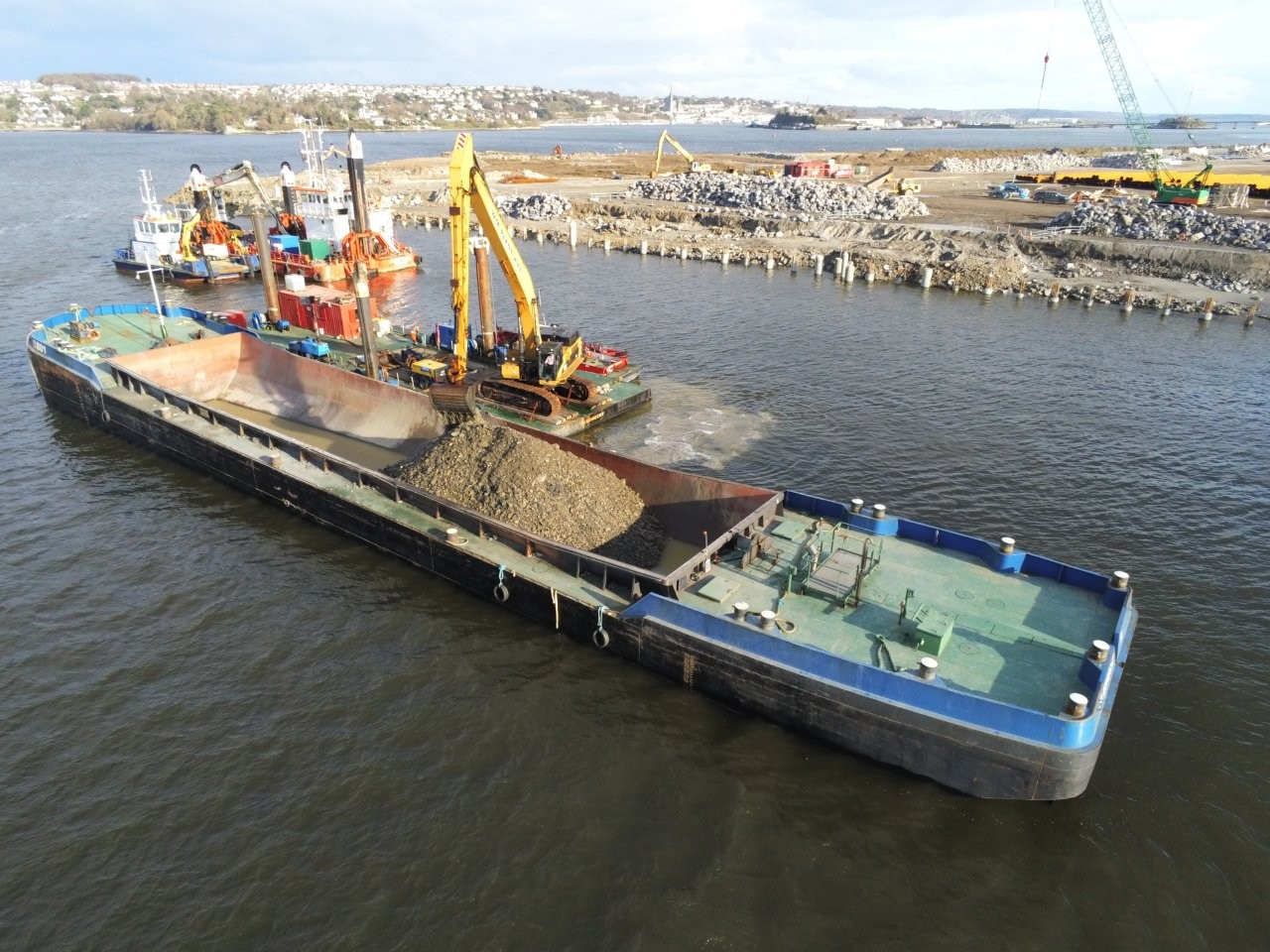
APEM Group, through AQUAFACT, supported the Port of Cork in developing a Benthic Habitat Reinstatement and Recovery Plan to meet...
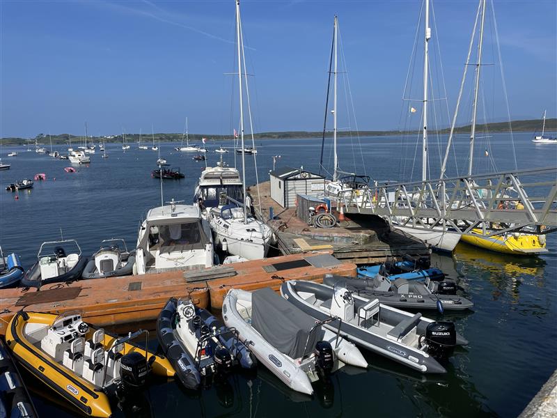
APEM Group was commissioned by Ireland’s National Parks and Wildlife Service (NPWS) to deliver a nationwide programme of marine invasive...