
Developing a Future-Ready Vessel Traffic Management Strategy for Clydeport, Peel Ports Group
APEM Group, through its specialist consultancy, NASH Maritime, supported Peel Ports Group in evaluating future options for vessel traffic management...


Project summary
APEM was contracted to conduct environmental aspects of pre-decommissioning surveys for a major oil and gas field, located 140 km off the Scottish coast. The operator required detailed environmental and subsea surveys to prepare for the safe and efficient decommissioning of the platform and its associated wells and infrastructure. The surveys were part of one of the largest and most complex pre-decommissioning programmes undertaken in the North Sea.
Project context
The platform, installed in the late 1970s, had been a hub for oil and gas production from multiple fields. As part of the decommissioning process, APEM conducted a comprehensive survey program to map subsea infrastructure, assess environmental conditions, and ensure compliance with regulatory standards.
Key stats:
The survey covered a vast and remote area, requiring meticulous planning and execution. APEM’s team of environmental scientists worked around the clock to complete the surveys within tight deadlines, ensuring minimal disruption to the marine environment.
A critical aspect of the project was the requirement to process a vast number of samples within tight timescales while maintaining high-quality standards. Sample analysis is often a bottleneck in decommissioning projects, but APEM’s ability to analyse large numbers of samples quickly to those high standards kept the project on track and minimised delays. This efficiency ensured that even with the high volume of samples, the quality of analysis was never compromised, demonstrating APEM’s commitment to excellence and reliability.


APEM conducted detailed inspections and sampling to characterise habitats and assess contamination levels across the survey area and within drill cuttings piles. Systems for precise sampling and real-time habitat assessment were implemented to address potential environmental impacts and ensure the safety of the survey team. ROV footage was obtained across the survey area to identify habitats and potential Annex I habitats, Priority Marine Features, or other features of interest. Sampling was conducted using double van Veen grabs, 1 m ROV push cores, and 6 m vibrocorer to determine biological, physical, and chemical conditions. Reference stations were also sampled to compare conditions in the wider North Sea.
Following analysis of the samples within short timescales, APEM produced 10 comprehensive reports, including a Habitat Assessment Report, eight environmental baseline reports, and a drill cuttings piles report. Data were compared against other studies, threshold criteria set by OSPAR and NOREG, and other industry standards.
Additional support
APEM provided ongoing technical advice and support to the operator, helping to refine survey scopes and reduce costs. The high-quality data collected was instrumental in informing the decommissioning strategy and ensuring regulatory compliance.
Get hand-picked content from our subject matter specialists. Sign up to receive relevant updates, resources, and ideas that help you and your organisation.
We're here to help. Whether you're looking for tailored insights, support with a project, or just want to explore how we can work together, contact our team today.
APEM Group, through its specialist consultancy, NASH Maritime, supported Peel Ports Group in evaluating future options for vessel traffic management...
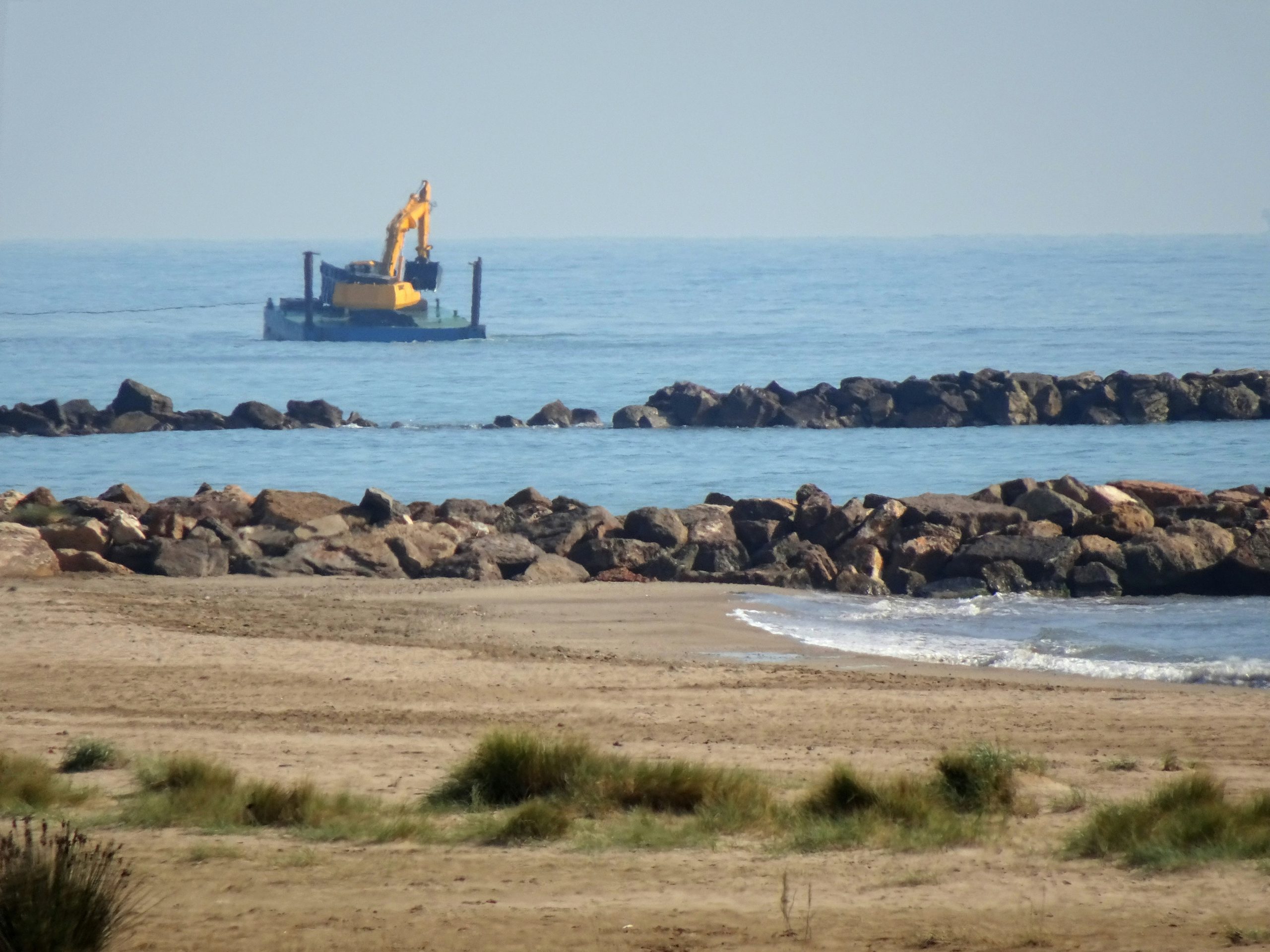
APEM Group supported Natural England with a comprehensive risk assessment of the dredging pathway, evaluating the risk of marine invasive...
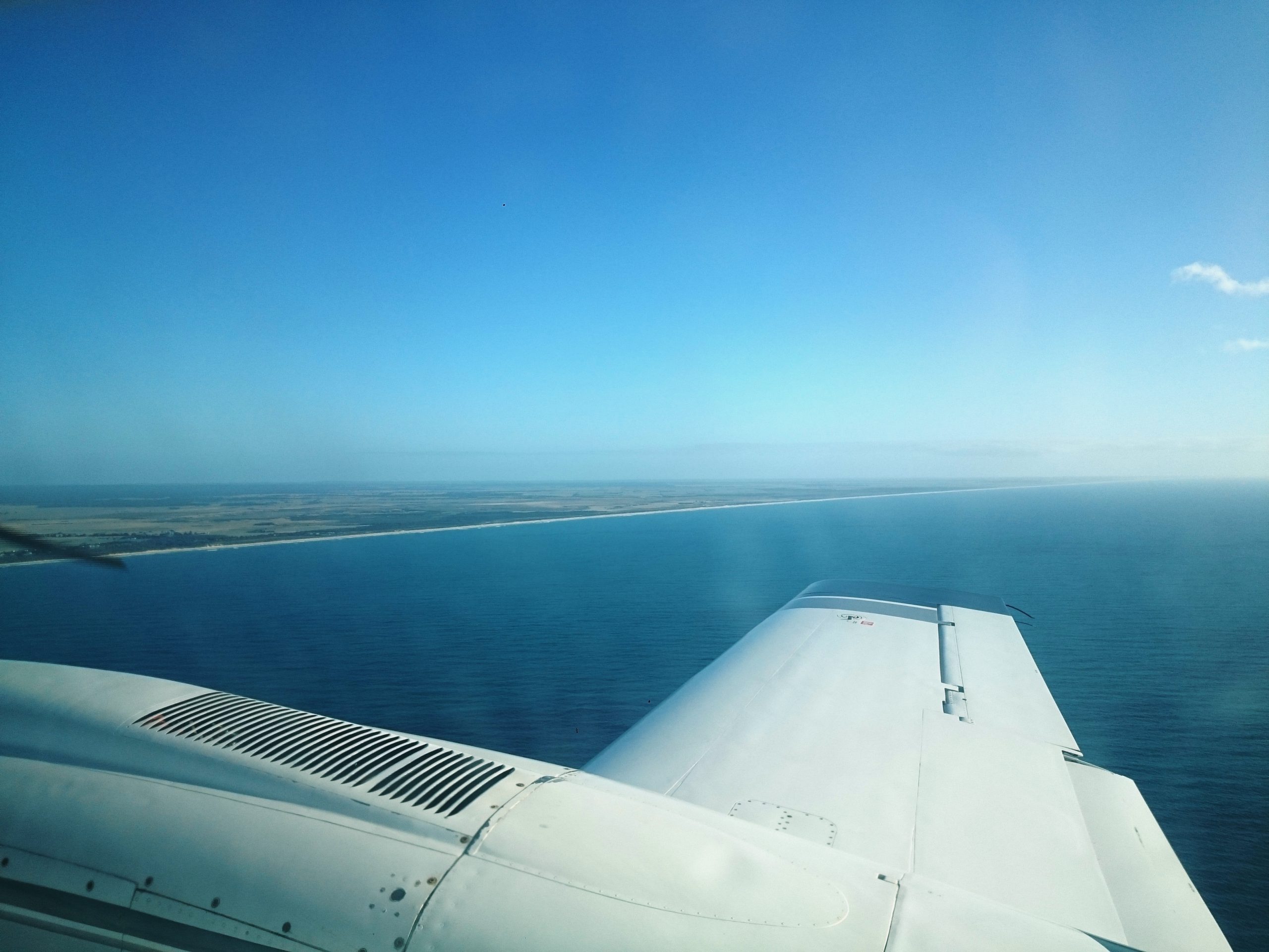
APEM partnered with Yorkshire Water to deliver a large-scale aerial mapping project across key coastal and inland bathing water catchments....