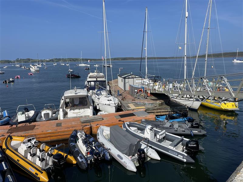
Nationwide Marine INNS Surveys Across Irish Marinas
APEM Group was commissioned by Ireland’s National Parks and Wildlife Service (NPWS) to deliver a nationwide programme of marine invasive...

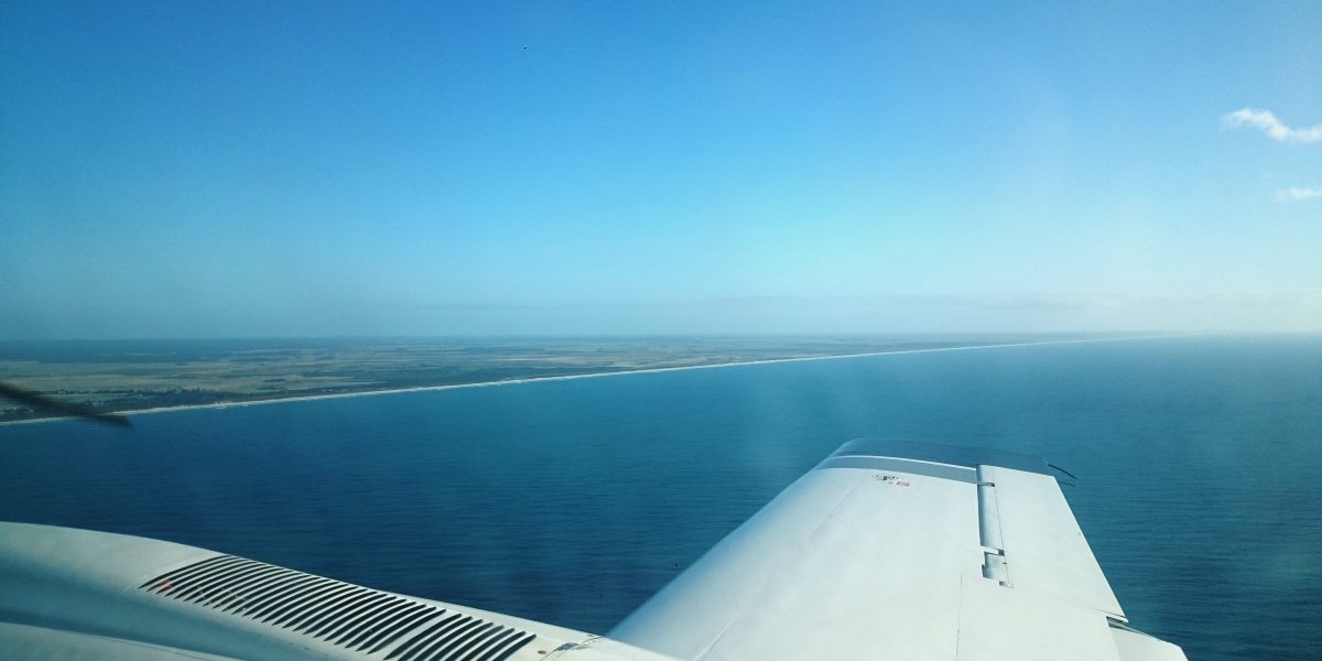
APEM partnered with Yorkshire Water to deliver a large-scale aerial mapping project across key coastal and inland bathing water catchments. Using advanced geospatial technologies and AI-driven analytics, the project created a comprehensive, high-resolution view of wastewater infrastructure and pollution risk points – enabling proactive management of bathing water quality.
Project Context
In 2011, ownership of private sewer networks transferred to UK water companies, significantly expanding operational responsibility without a complete understanding of asset locations. For Yorkshire Water, this meant managing over 26,000 km of additional infrastructure with limited mapping data.
This knowledge gap has historically led to reactive approaches—investigating issues only after pollution events or system failures occurred. With increasing regulatory pressure around bathing water quality and environmental performance, Yorkshire Water required a scalable, intelligence-led solution to better understand its wastewater network and mitigate pollution risks.
As well as identifying the previously unknown sewer network, the project aimed to map potential misconnections and other pollution sources within urban and rural environments, to provide a holistic view of factors impacting water quality across the entire catchment.
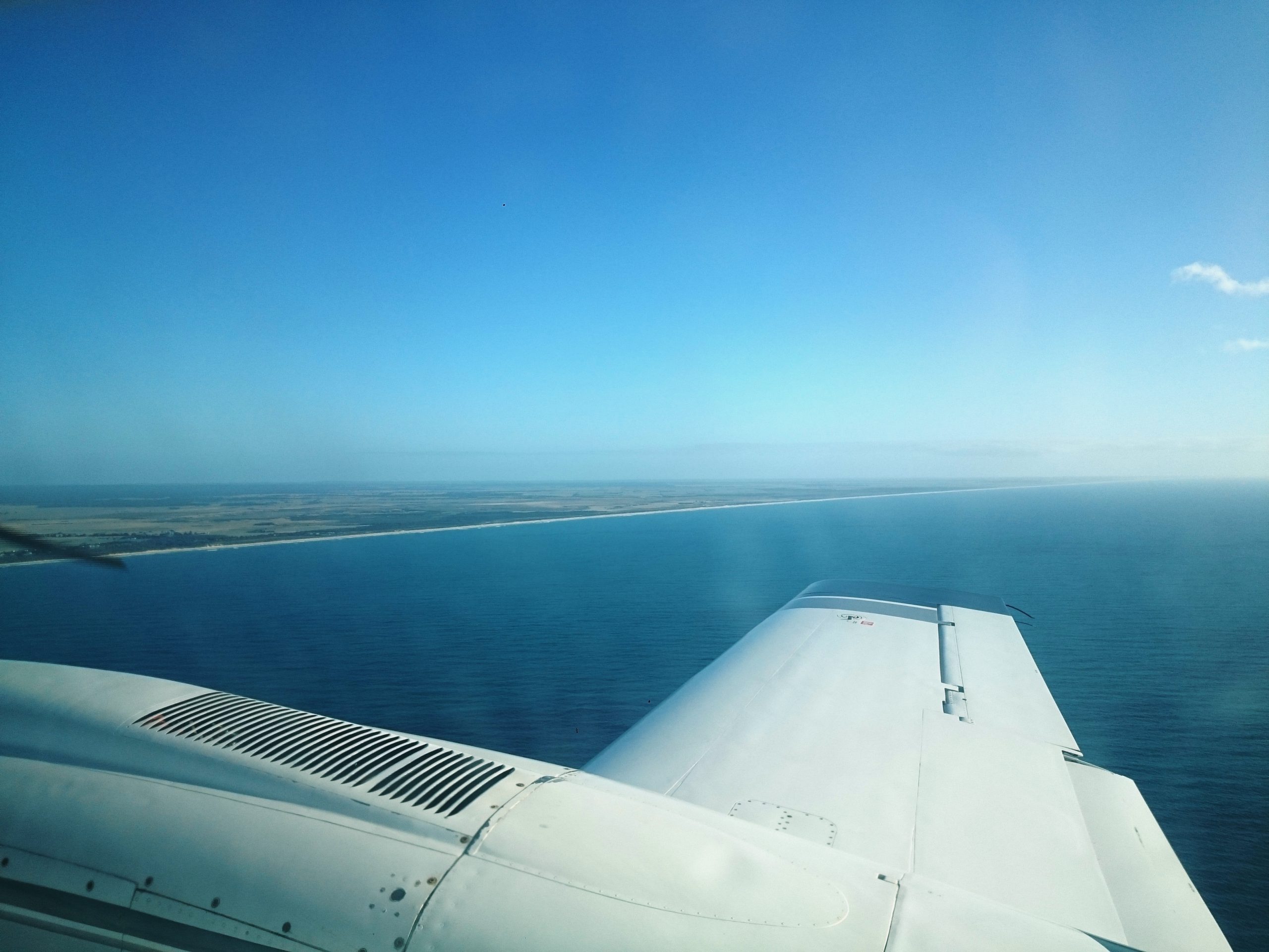
The project faced several key challenges, including limited visibility across both legacy assets and newly acquired sewer infrastructure, making it difficult to build a complete picture of the network. Data had historically been collected in a fragmented, reactive way, rather than through a coordinated, strategic approach. This made it particularly challenging to identify pollution sources, such as misconnections. As a result, operational inefficiencies persisted, with teams often carrying out unnecessary site visits and responding later than ideal to emerging issues. Additionally, there was a clear need for scalable, catchment-wide insight to effectively manage large and complex areas and identify pollution risks outside of the urban centres.
APEM delivered a fully integrated aerial survey and geospatial intelligence solution, combining:
This “birds-eye view” approach enabled Yorkshire Water to move from reactive investigation to proactive, data-driven decision-making, significantly improving their ability to identify and prioritise pollution risks.
This overarching view using APEM’s technology will improve how we manage and maintain the sewer network, as well as give us the intelligence required to predict and prevent some pollutions and floodings in the future. Plugging this important historical gap will allow Yorkshire Water to confidently plan for the future.
– Thomas Ogden, Innovation Technical Specialist, Yorkshire Water

Beyond delivery, APEM ensured the project’s outputs were fully actionable by:
APEM continues to support water companies with a range of complementary solutions addressing pollution, leakage, drought resilience and environmental monitoring.
This project demonstrates the value of combining geospatial intelligence, AI and environmental expertise to transform how water companies understand and manage their assets.
By enabling earlier intervention, reducing pollution risk and improving operational efficiency, APEM is helping shape a more resilient, data-driven water sector.
Explore how APEM is helping water companies tackle pollution, improve resilience and unlock smarter network insights in APEM’s Future of Water campaign.
We're here to help. Whether you're looking for tailored insights, support with a project, or just want to explore how we can work together, contact our team today.
APEM Group was commissioned by Ireland’s National Parks and Wildlife Service (NPWS) to deliver a nationwide programme of marine invasive...

APEM Ltd., part of APEM Group, supported the development of the new Marine Biosecurity Plan created to protect the Stour...
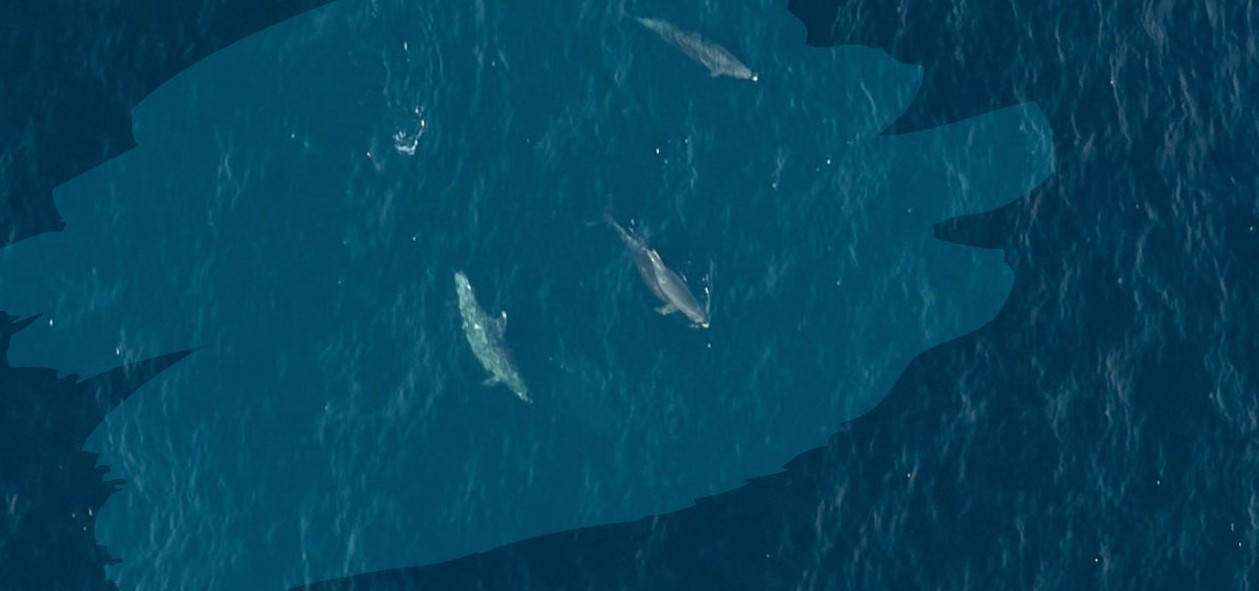
In a partnership to support sustainable offshore wind development, APEM Group and Flotation Energy have completed a series of 24...