
APEM Group Drives Innovation in Offshore Wind Environmental Surveys for Gippsland Skies Australia
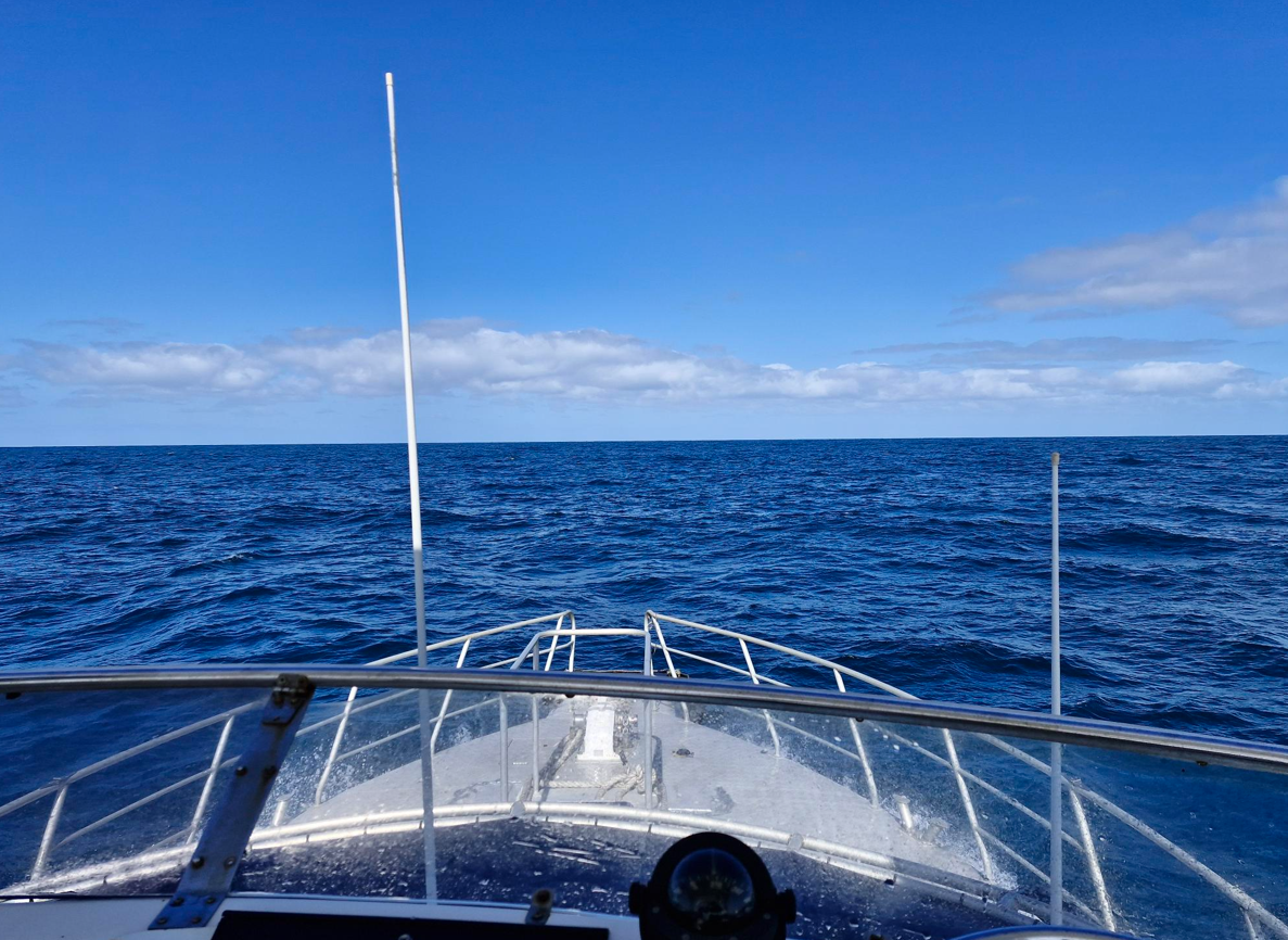
APEM Group was contracted by Gippsland Skies to deliver bird, marine mammal and megafauna aerial and boat-based baseline surveys for...
A Growing Sector Facing Complex Realities
Across Australia and the wider Asia–Pacific region, offshore wind is shifting from ambition to action. Governments are defining development zones, feasibility licences are being issued, and international developers are exploring large areas of coastline.
However, the region faces a unique mix of challenges. Permitting timelines are complicated, supply chain availability is inconsistent, and there is still limited operational experience compared to Europe.
In Australia, grid constraints and infrastructure gaps can stretch project timelines, while across Asia–Pacific, vessel shortages, local content rules and financing pressures can delay even the most promising projects.
In the middle of all this, developers need clarity. The decisions made in the early stages of offshore wind design can have economic and reputational consequences for years to come. Among these, understanding environmental impacts is one of the most important, because it influences not only project design but also community trust, regulatory approval and long-term operational certainty.
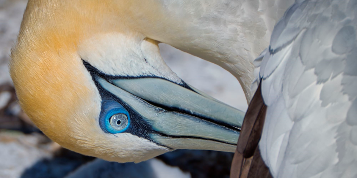
For countries with new offshore wind industries, ecological knowledge gaps are a real challenge. Unlike the UK or parts of Europe, Australia and much of the Asia–Pacific region does not have decades of existing monitoring data from operational wind farms. As a result, developers cannot rely on historic baselines to understand how birds might interact with turbines. They must build that knowledge from the ground up.
Collision risk modelling plays a central role in this effort. Predicting potential interactions between birds and offshore structures helps developers make informed decisions about turbine height, layout and species-specific mitigation strategies. When based on accurate, localised site data, these models become powerful tools that reduce uncertainty and provide regulators with confidence that risks to sensitive species, such as migratory or pelagic birds, have been properly assessed.
One of the most critical pieces of information in collision modelling is flight height. Birds use airspace differently based on behaviour, season, prey availability and weather. Some species fly high and fast, others low and in large flocks, and many shift their patterns across the year. Understanding this variation is essential for predicting collision exposure.
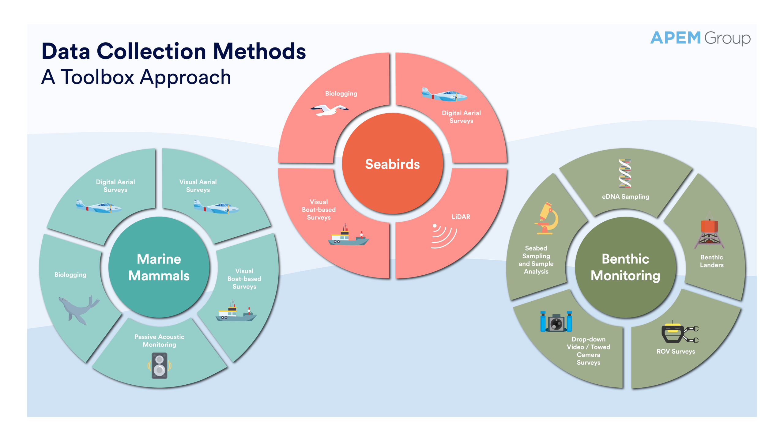
In offshore environments, flight height data is collected through two primary methods.
When these data sources are combined, developers gain a far more accurate understanding of how birds move through a proposed wind farm site.
The Biosis Collision Risk Model was designed to account for the real behaviours and conditions observed in Australia and has been utilised for both terrestrial and offshore environments. Unlike other models that rely heavily on assumptions or simplified bird flight paths, this model incorporates actual species behaviour, turbine layout, structure geometry and flight patterns.
It considers that birds approach turbines from all directions, not just perpendicular to the blade sweep. It recognises that slower flying birds spend more time within the collision zone and therefore face a higher risk. It includes the entire turbine structure, not just blades, which is essential for species that may fly below rotor height but still interact with towers and nacelles, such as low-flying seabirds.
The model’s predictions have been tested against field outcomes and have shown strong alignment between predicted and observed collision rates for large raptor species.
APEM Group has delivered comprehensive offshore bird and bat baseline assessments in multiple Australian marine regions, providing developers with robust data for collision risk modelling.
Seasonal and inter-annual variation in bird movement is an important consideration across Australia and the Asia–Pacific region. Bird activity varies not only due to migration, but also in response to breeding cycles, resource availability, and weather conditions. In addition, coastal foragers, pelagic seabirds and resident raptors use the environment differently throughout the year. Two years of seasonal surveys are therefore important to capture this variability, including differences between years as well as seasonal patterns.
Collecting this level of data requires experienced ecologists who understand local bird assemblages and can design surveys that reflect regulatory expectations. For developers, this investment provides a much stronger foundation for environmental impact assessments, reducing the risk of late-stage surprises or changes that can disrupt timelines.
Offshore wind developers in Australia and the Asia–Pacific need to balance cost, efficiency and environmental integrity. Collision risk modelling supports these pressures by clarifying which species require focused mitigation and which areas of a site present higher or lower collision exposure. This information can inform turbine height selection, turbine model choice and the spatial layout of arrays.
It can also guide operational decisions. Understanding when birds are most active can inform construction timing and help operators plan shutdowns or altered operations during periods of heightened sensitivity. With supply chains tight and developers under pressure to demonstrate responsible practice, early environmental clarity becomes a major advantage.
Floating offshore wind is being explored in deeper waters across Australia, Japan, South Korea and the Philippines. Floating foundations can move differently from fixed bottom structures and can be arranged more flexibly across a site. This places increased importance on modelling that can adapt to variable layouts and evolving turbine designs.
The Biosis model’s ability to integrate real world turbine geometry and layout changes makes it well suited to floating wind environments. As floating technology progresses, having a model that can keep pace with design shifts helps prevent repeated assessment cycles and provides continuity across project stages.
In a region where offshore wind is still relatively young, trust is built through evidence. When predictions from collision models align with field data, it strengthens confidence among regulators, financiers and communities.
The Biosis Collision Risk Model, which has been in use and subject to regulatory assessments for more than 20 years for the onshore wind energy sector, has been compared with field data obtained during systematic monitoring of operational onshore wind energy facilities. This track record gives developers reassurance that environmental assessments are grounded in practical outcomes rather than theoretical assumptions.
Being part of APEM Group enhances this capability further. Digital aerial surveying, marine ecology expertise, and global offshore experience, combined with Biosis’ decades of local knowledge, give developers a single integrated source of environmental insight.
As Australia and the Asia–Pacific region pushes forward with offshore wind targets, responsible environmental decision-making will remain central to project success. High-quality baseline data, strong modelling and targeted mitigation provide developers with a clear path through regulatory complexity and community expectations.
With a proven model, robust survey methods and integrated expertise across APEM Group and Biosis, the industry has the tools it needs to build offshore wind projects that protect wildlife while delivering on the region’s renewable energy goals.
Get hand-picked content from our subject matter specialists. Sign up to receive relevant updates, resources, and ideas that help you and your organisation.
We're here to help. Whether you're looking for tailored insights, support with a project, or just want to explore how we can work together, contact our team today.
APEM Group was contracted by Gippsland Skies to deliver bird, marine mammal and megafauna aerial and boat-based baseline surveys for...
Discover how LiDAR technology is transforming environmental monitoring for offshore wind projects in Australia, delivering precise data to support sustainable...
Understanding the environmental impact of offshore wind farms is critical for sustainable offshore energy development in Australia.